
Surface Modeling Project Samples
Spectral Encoded Digital Surface Model
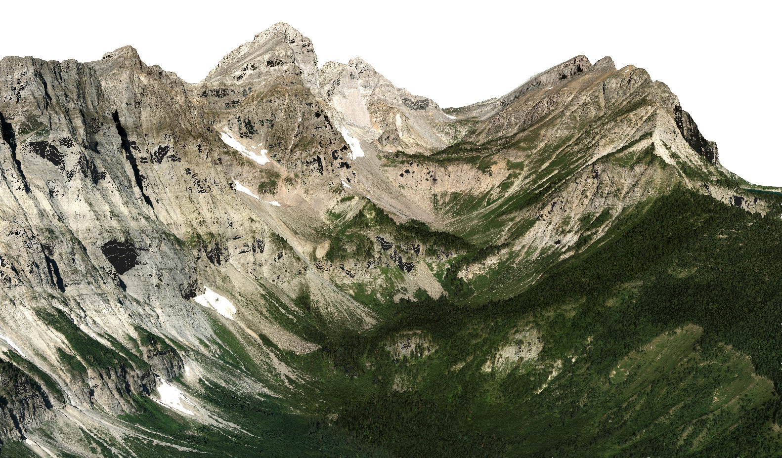
Aeroquest Mapcon was contracted to provide 30 cm & 50 cm color orthophotography with 1.2 m ground spacing spectral encoded DSM for 16,500 km².
Spectral Encoded Digital Canopy Model
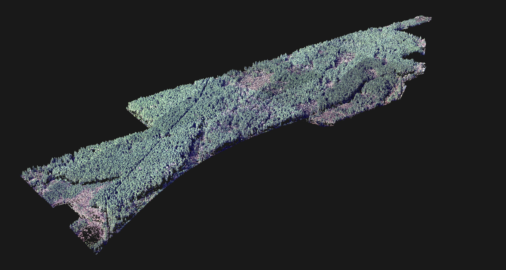
Aeroquest Mapcon was contracted to provide 10 cm 4-band orthophotography, a Digital Terrain Model (DTM), Digital Surface Model (DSM) and a Digital Canopy Model (DCM) for approximately 750 ha. For the Digital Canopy Model, all ground elevations were normalized (brought to zero) so that tree canopy heights could be easily measured and visually analyzed.
High Density Colorized Point Cloud
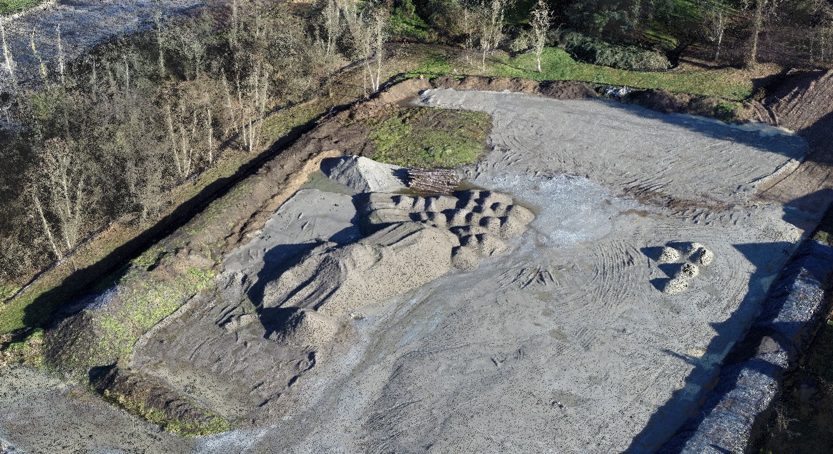
Aeroquest Mapcon captured aerial imagery using a UAV to generate a colorized point cloud with a density of 950 ppm². This was used to calculate the volume of fill delivered to a building site.
Digital Terrain Model from Air Photo
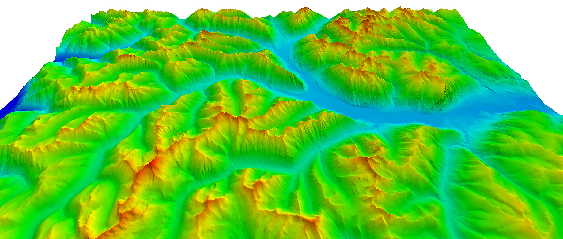
Aeroquest Mapcon was contracted to generate 30 cm orthophotography in addition to a Digital Terrain Model to be used for rectification and for delivery to the client, for >10,000 km².
Digital Terrain Model from Satellite
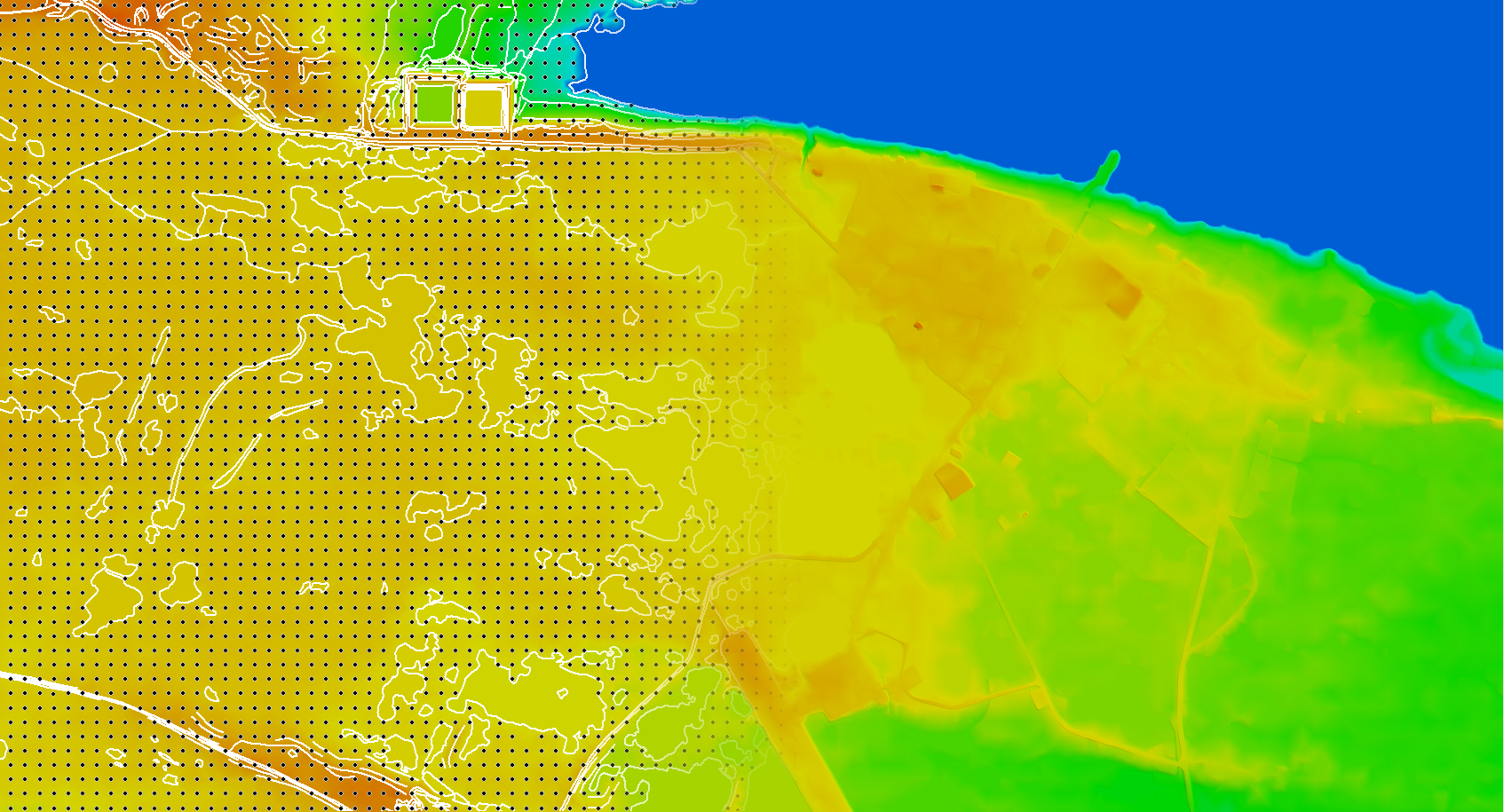
Collected vector data and resulting DTM
Aeroquest Mapcon was contracted to generate a DTM and DSM from Digital Globe GeoEye-1 satellite imagery.